
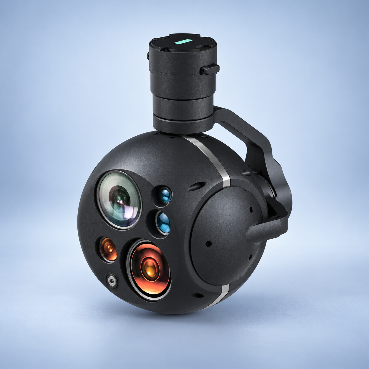
DT30DL EO/IR UAV Gimbal | Dual-FOV Thermal, 30× Zoom
Dual-field thermal UAV gimbal combining a 30× optical-zoom EO camera, 2.8 mm fixed EO camera, 640×512/60 fps IR and 30–3,000 m laser ranging. Thermal lenses switch between 13.5 mm wide and 50 mm telephoto views; EO delivers 1920×1080/60 fps through a 4.5–135 mm lens. Three-axis stabilization provides 0.1 mrad accuracy. Network video and target-position calculation support observation. 12–28 V, average ≤20 W, maximum ≤30 W.
- High-precision three-axis gyro-stabilized gimbal
- 30× continuous optical zoom
- 4.5-135 mm
- 2.8 mm fixed-focus visible-light lens
- 640 × 512 at 60 fps
- 13.5 mm
- 31.7° × 25.6°
- 50 mm
- 8.7° × 7°
- 30-3000 m
- ≥100°/s
- 0.1 mrad at 1°/2 Hz, 1σ
Plan your product inquiry.
Add this product to your quote list or contact our team to discuss product selection and integration.
Core specifications
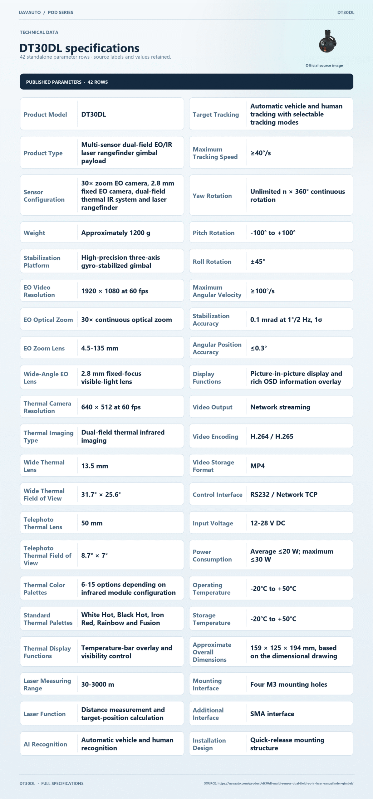
Technical data
| Parameter | Specification |
|---|---|
| Product Model | DT30DL |
| Product Type | Multi-sensor dual-field EO/IR laser rangefinder gimbal payload |
| Sensor Configuration | 30× zoom EO camera, 2.8 mm fixed EO camera, dual-field thermal IR system and laser rangefinder |
| Stabilization Platform | High-precision three-axis gyro-stabilized gimbal |
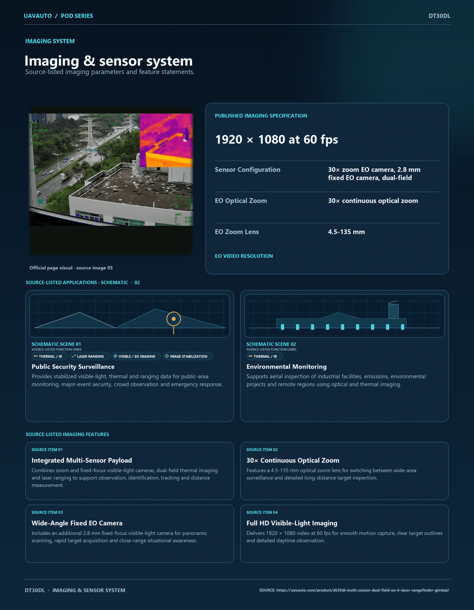
| EO Video Resolution | 1920 × 1080 at 60 fps |
| EO Optical Zoom | 30× continuous optical zoom |
| EO Zoom Lens | 4.5-135 mm |
| Wide-Angle EO Lens | 2.8 mm fixed-focus visible-light lens |
| Thermal Camera Resolution | 640 × 512 at 60 fps |
| Thermal Imaging Type | Dual-field thermal infrared imaging |
| Wide Thermal Lens | 13.5 mm |
| Wide Thermal Field of View | 31.7° × 25.6° |
| Telephoto Thermal Lens | 50 mm |
| Telephoto Thermal Field of View | 8.7° × 7° |
| Thermal Color Palettes | 6-15 options depending on infrared module configuration |
| Standard Thermal Palettes | White Hot, Black Hot, Iron Red, Rainbow and Fusion |
| Thermal Display Functions | Temperature-bar overlay and visibility control |
| Laser Measuring Range | 30-3000 m |
| Laser Function | Distance measurement and target-position calculation |
| AI Recognition | Automatic vehicle and human recognition |
| Target Tracking | Automatic vehicle and human tracking with selectable tracking modes |
| Maximum Tracking Speed | ≥40°/s |
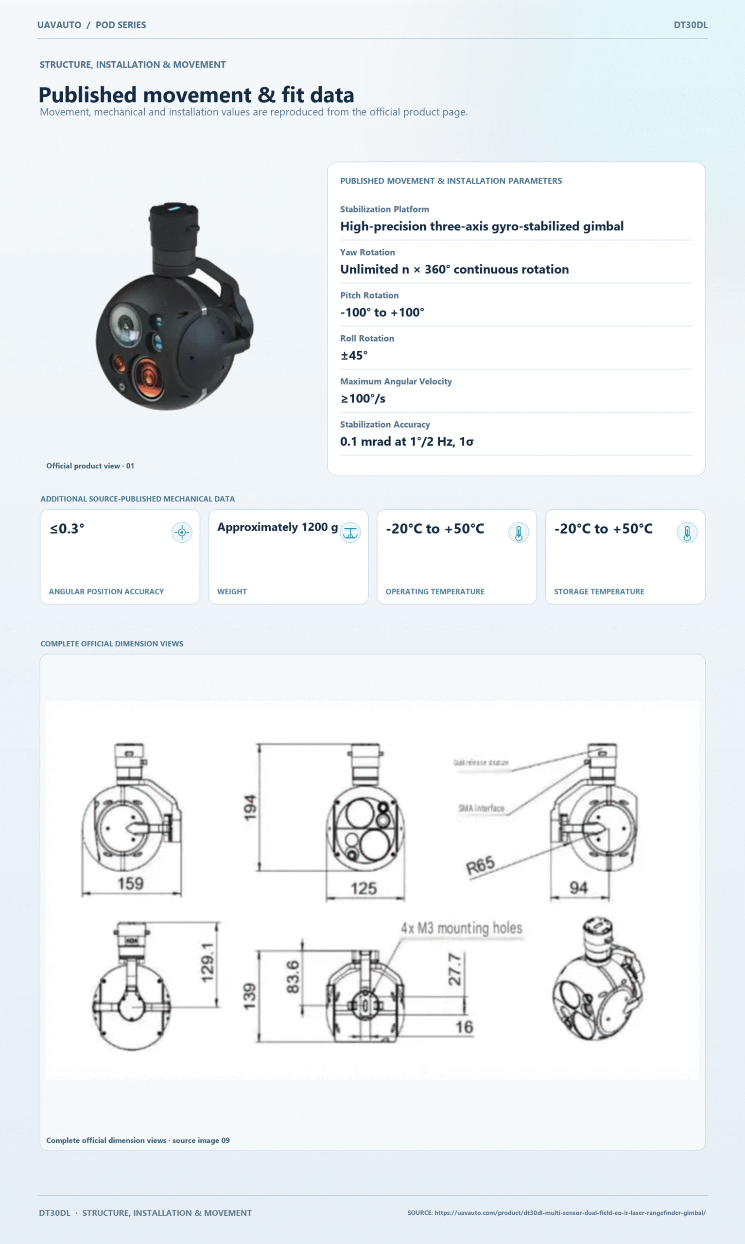
| Yaw Rotation | Unlimited n × 360° continuous rotation |
| Pitch Rotation | -100° to +100° |
| Roll Rotation | ±45° |
| Maximum Angular Velocity | ≥100°/s |
| Stabilization Accuracy | 0.1 mrad at 1°/2 Hz, 1σ |
| Angular Position Accuracy | ≤0.3° |
| Display Functions | Picture-in-picture display and rich OSD information overlay |
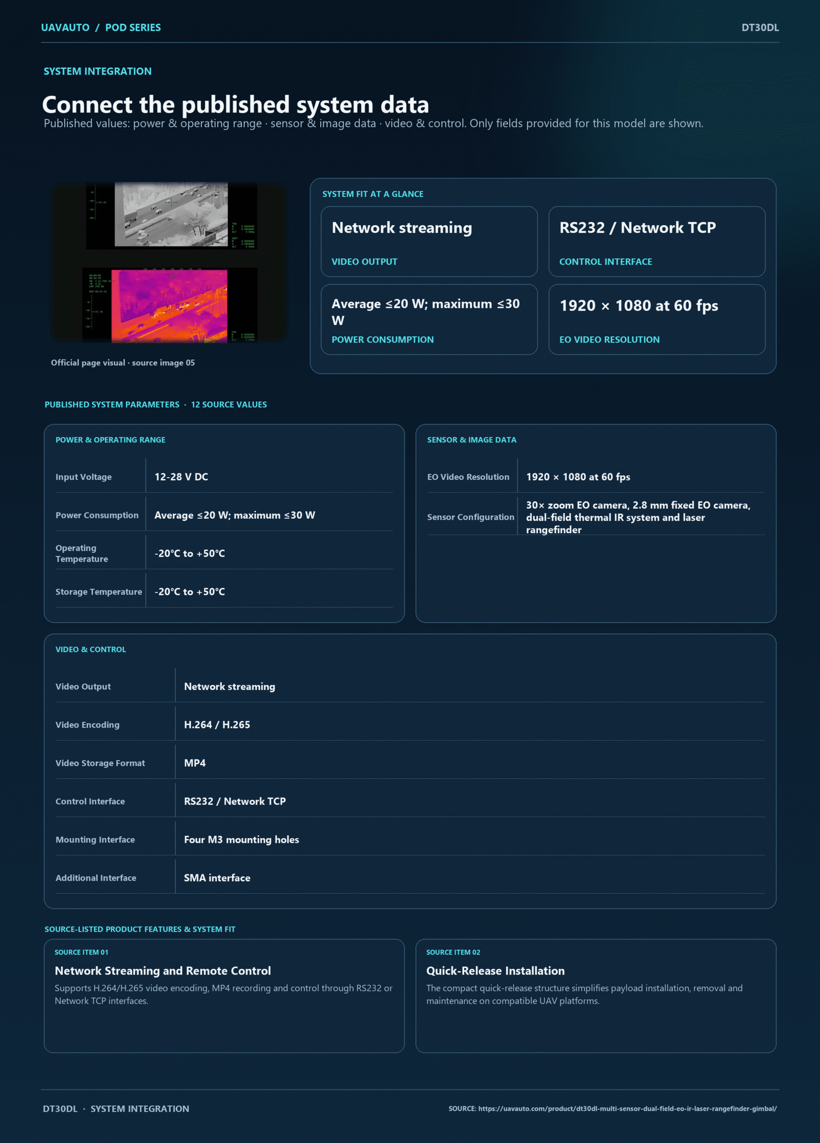
| Video Output | Network streaming |
| Video Encoding | H.264 / H.265 |
| Video Storage Format | MP4 |
| Control Interface | RS232 / Network TCP |
| Input Voltage | 12-28 V DC |
| Power Consumption | Average ≤20 W; maximum ≤30 W |
| Operating Temperature | -20°C to +50°C |
| Storage Temperature | -20°C to +50°C |
| Approximate Overall Dimensions | 159 × 125 × 194 mm, based on the dimensional drawing |
| Mounting Interface | Four M3 mounting holes |
| Additional Interface | SMA interface |
| Installation Design | Quick-release mounting structure |
1. Features & applications
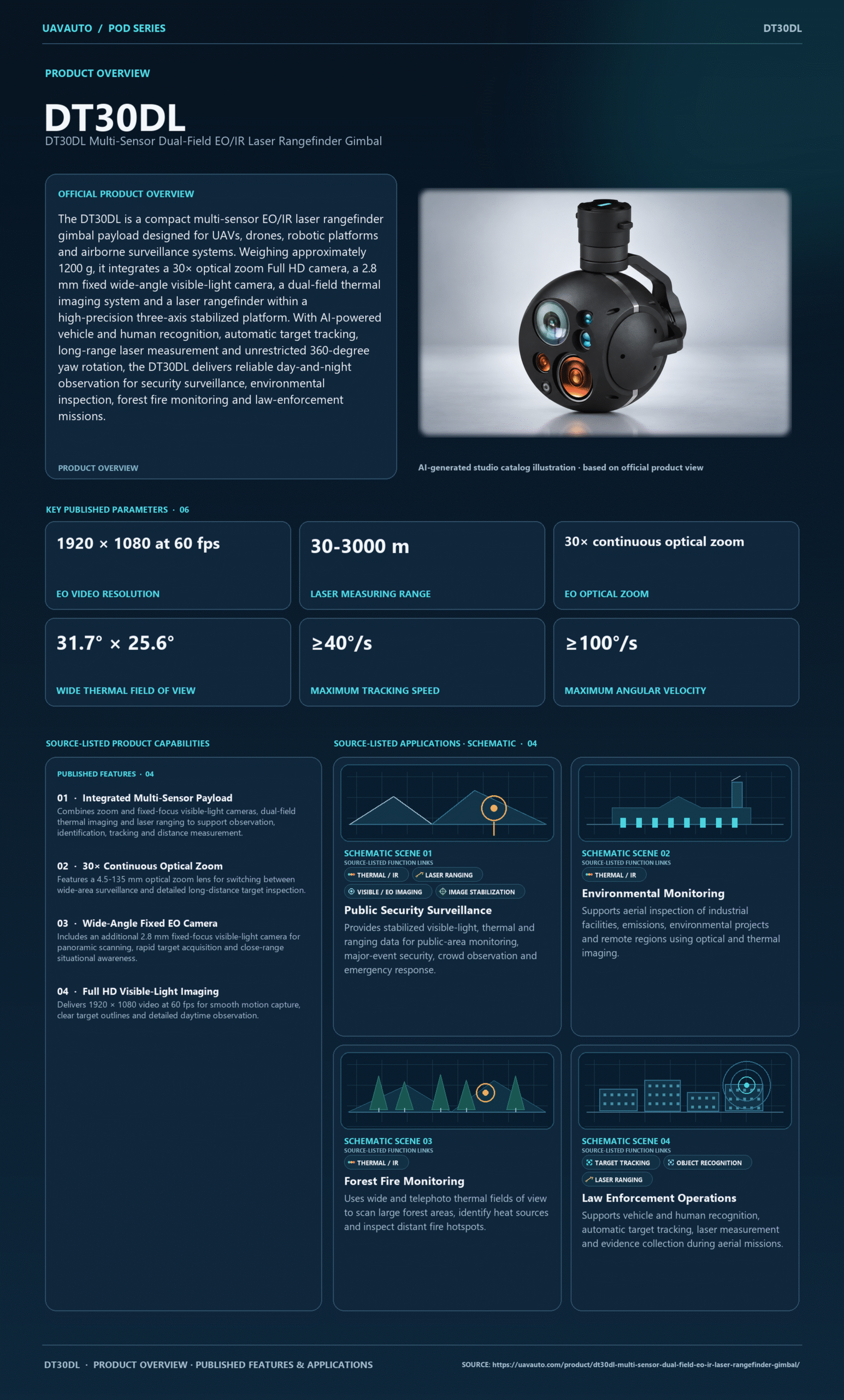
The DT30DL is a compact multi-sensor EO/IR laser rangefinder gimbal payload designed for UAVs, drones, robotic platforms and airborne surveillance systems. It integrates a 30× optical zoom Full HD camera, a 2.8 mm fixed wide-angle visible-light camera, a dual-field thermal imaging system and a laser rangefinder within a high-precision three-axis stabilized platform. With AI-powered vehicle and human recognition, automatic target tracking, long-range laser measurement and unrestricted 360-degree yaw rotation, the DT30DL delivers reliable day-and-night observation for security surveillance, environmental inspection, forest fire monitoring and law-enforcement missions.
2. Product Features
-
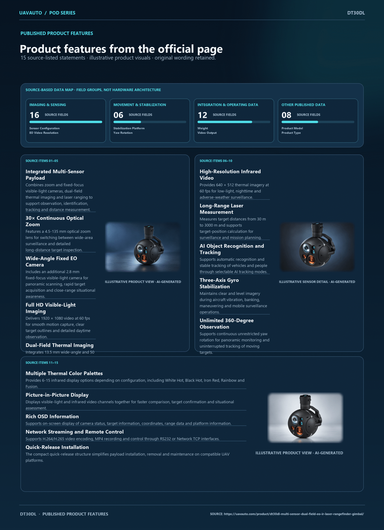
Integrated Multi-Sensor Payload:
Combines zoom and fixed-focus visible-light cameras, dual-field thermal imaging and laser ranging to support observation, identification, tracking and distance measurement. -
30× Continuous Optical Zoom:
Features a 4.5-135 mm optical zoom lens for switching between wide-area surveillance and detailed long-distance target inspection. -
Wide-Angle Fixed EO Camera:
Includes an additional 2.8 mm fixed-focus visible-light camera for panoramic scanning, rapid target acquisition and close-range situational awareness. -
Full HD Visible-Light Imaging:
Delivers 1920 × 1080 video at 60 fps for smooth motion capture, clear target outlines and detailed daytime observation. -
Dual-Field Thermal Imaging:
Integrates 13.5 mm wide-angle and 50 mm telephoto infrared channels, supporting both rapid area scanning and long-distance heat-source observation. -
High-Resolution Infrared Video:
Provides 640 × 512 thermal imagery at 60 fps for low-light, nighttime and adverse-weather surveillance. -
Long-Range Laser Measurement:
Measures target distances from 30 m to 3000 m and supports target-position calculation for surveillance and mission planning. -
AI Object Recognition and Tracking:
Supports automatic recognition and stable tracking of vehicles and people through selectable AI tracking modes. -
Three-Axis Gyro Stabilization:
Maintains clear and level imagery during aircraft vibration, banking, maneuvering and mobile surveillance operations. -
Unlimited 360-Degree Observation:
Supports continuous unrestricted yaw rotation for panoramic monitoring and uninterrupted tracking of moving targets. -
Multiple Thermal Color Palettes:
Provides 6-15 infrared display options depending on configuration, including White Hot, Black Hot, Iron Red, Rainbow and Fusion. -
Picture-in-Picture Display:
Displays visible-light and infrared video channels together for faster comparison, target confirmation and situational assessment. -
Rich OSD Information:
Supports on-screen display of camera status, target information, coordinates, range data and platform information. -
Network Streaming and Remote Control:
Supports H.264/H.265 video encoding, MP4 recording and control through RS232 or Network TCP interfaces. -
Quick-Release Installation:
The compact quick-release structure simplifies payload installation, removal and maintenance on compatible UAV platforms.
-light, nighttime
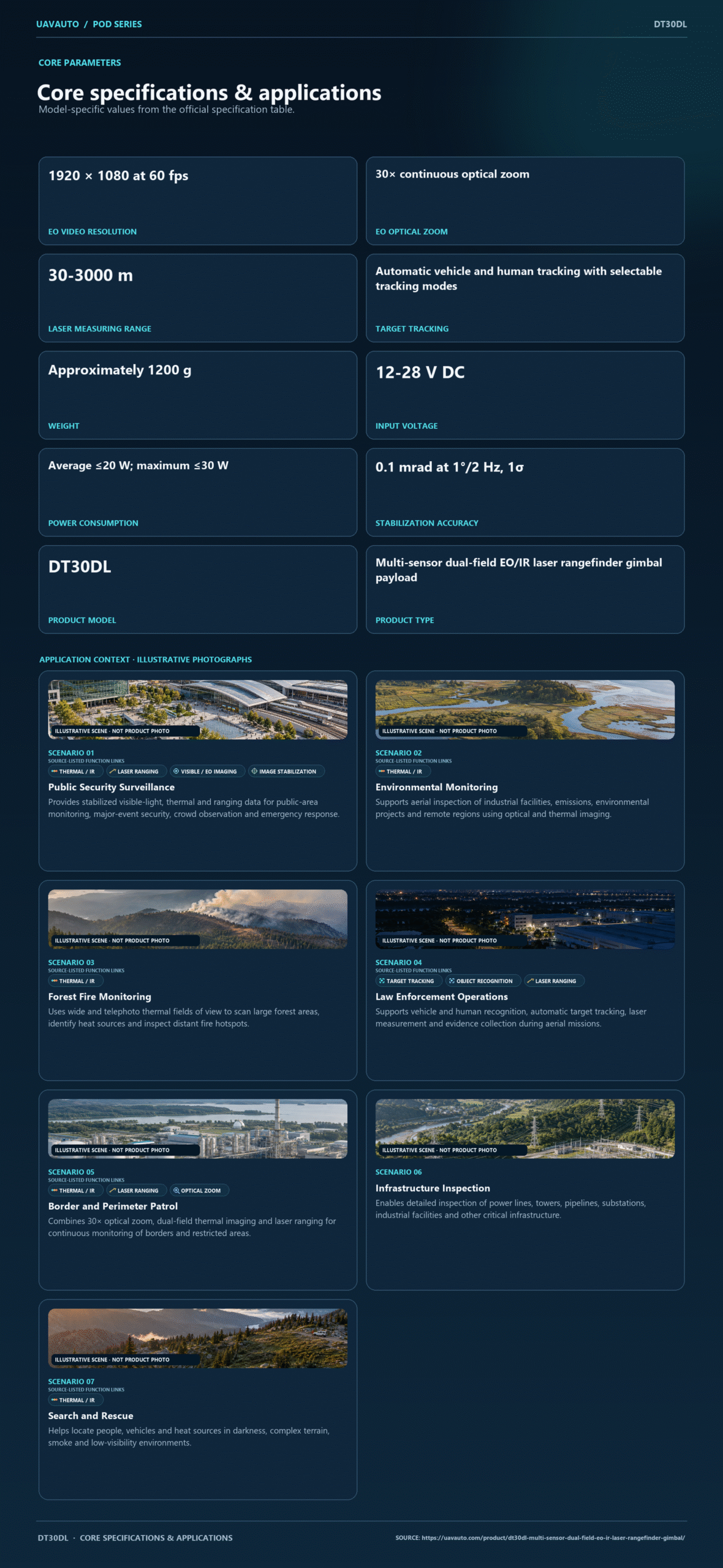
3. Application Scenarios
-
Public Security Surveillance:
Provides stabilized visible-light, thermal and ranging data for public-area monitoring, major-event security, crowd observation and emergency response. -
Environmental Monitoring:
Supports aerial inspection of industrial facilities, emissions, environmental projects and remote regions using optical and thermal imaging. -
Forest Fire Monitoring:
Uses wide and telephoto thermal fields of view to scan large forest areas, identify heat sources and inspect distant fire hotspots. -
Law Enforcement Operations:
Supports vehicle and human recognition, automatic target tracking, laser measurement and evidence collection during aerial missions. -
Border and Perimeter Patrol:
Combines 30× optical zoom, dual-field thermal imaging and laser ranging for continuous monitoring of borders and restricted areas. -
Infrastructure Inspection:
Enables detailed inspection of power lines, towers, pipelines, substations, industrial facilities and other critical infrastructure. -
Search and Rescue:
Helps locate people, vehicles and heat sources in darkness, complex terrain, smoke and low-visibility environments.
Related Products
-
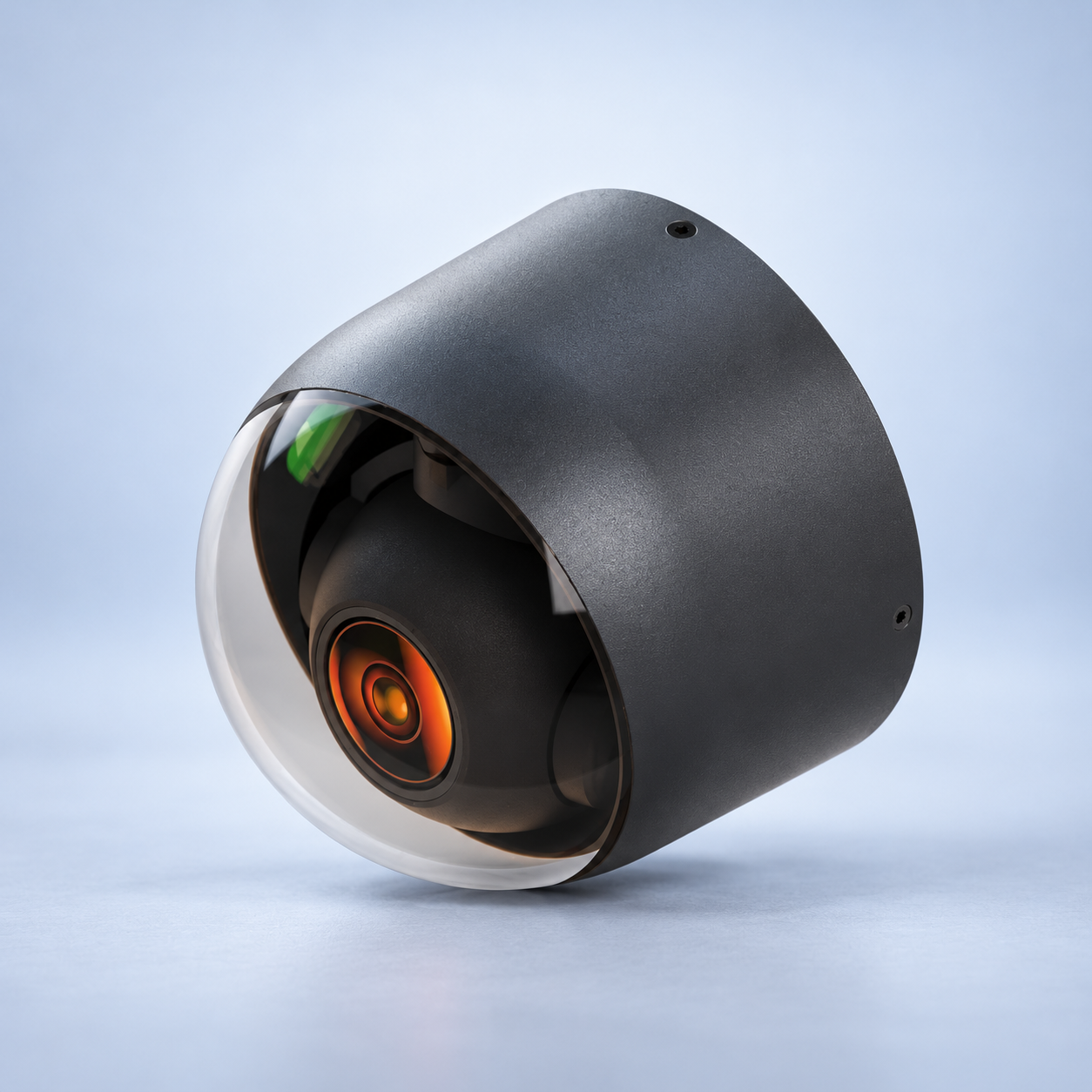 DA60N
DA60NDA60N Mini Infrared UAV Pod Overview
Gimbal Pod -
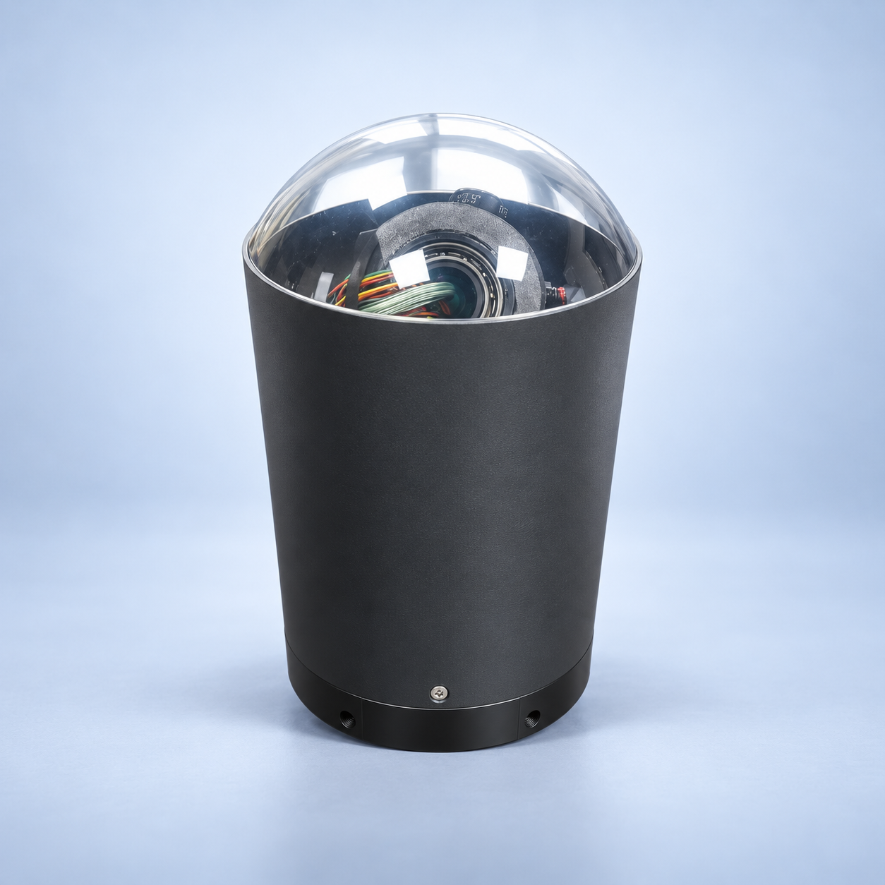 DA0T1
DA0T1DA0T1 High-Frame-Rate High-Speed Seeker
Gimbal Pod -
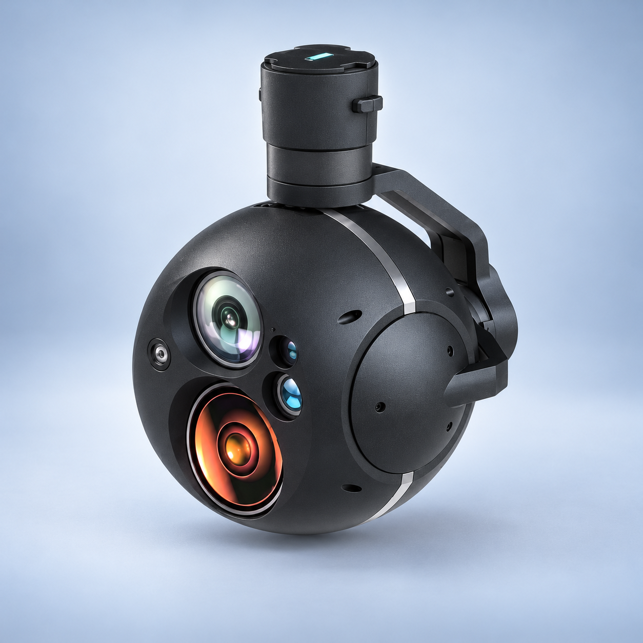 DS30E
DS30EDS30E Triple-Sensor EO/IR Laser Rangefinder Gimbal
Gimbal Pod -
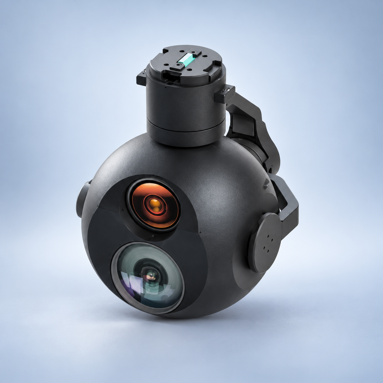 DD360Pro
DD360Pro Triple-Mode EO/IR Micro Gimbal Pod
Gimbal Pod -
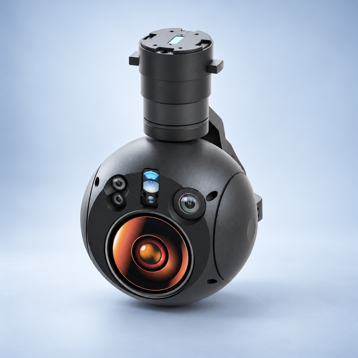 DX5B
DX5BDX5B 4K EO Camera IR Thermal Imaging Laser Rangefinder Target Tracking UAV Gimbal Payload
Gimbal Pod -
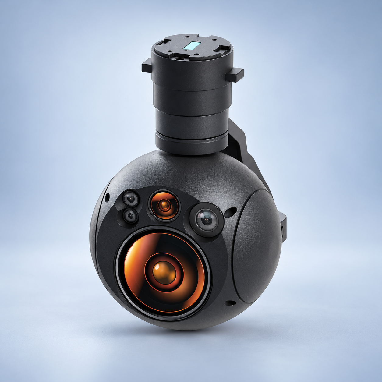 DX5A
DX5ADX5A 4K EO Camera Dual IR Thermal Imaging Target Tracking UAV Gimbal Payload
Gimbal Pod -
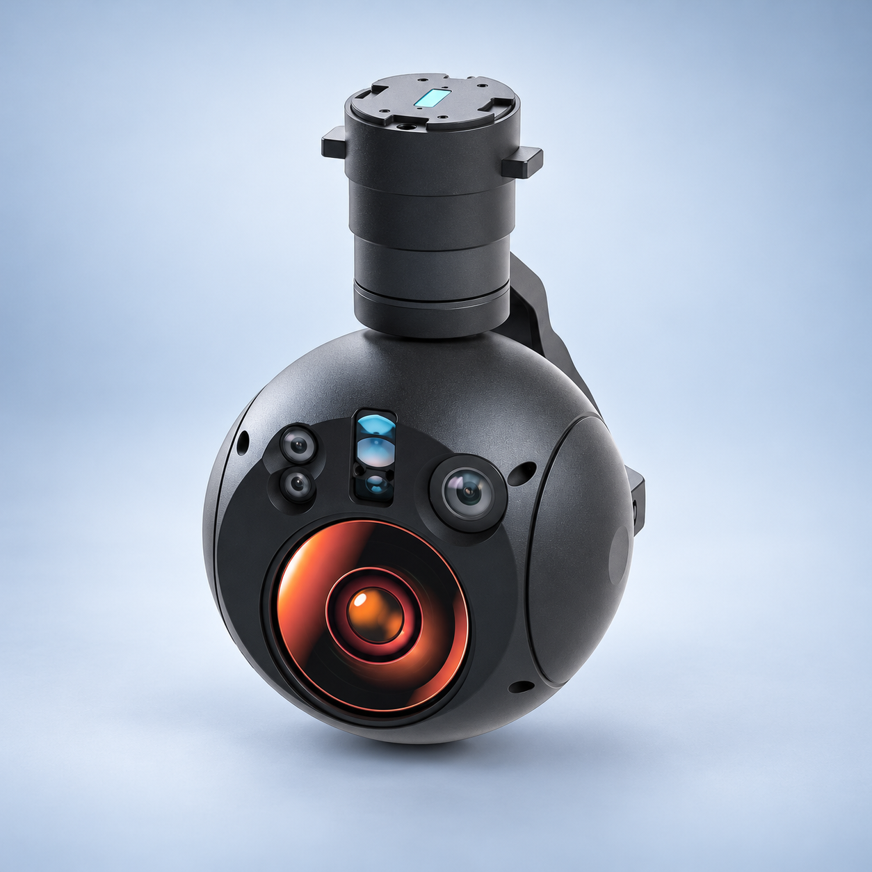 DX5
DX5DX5 4K EO Camera IR Thermal Imaging Laser Rangefinder 3-Axis UAV Gimbal Payload
Gimbal Pod -
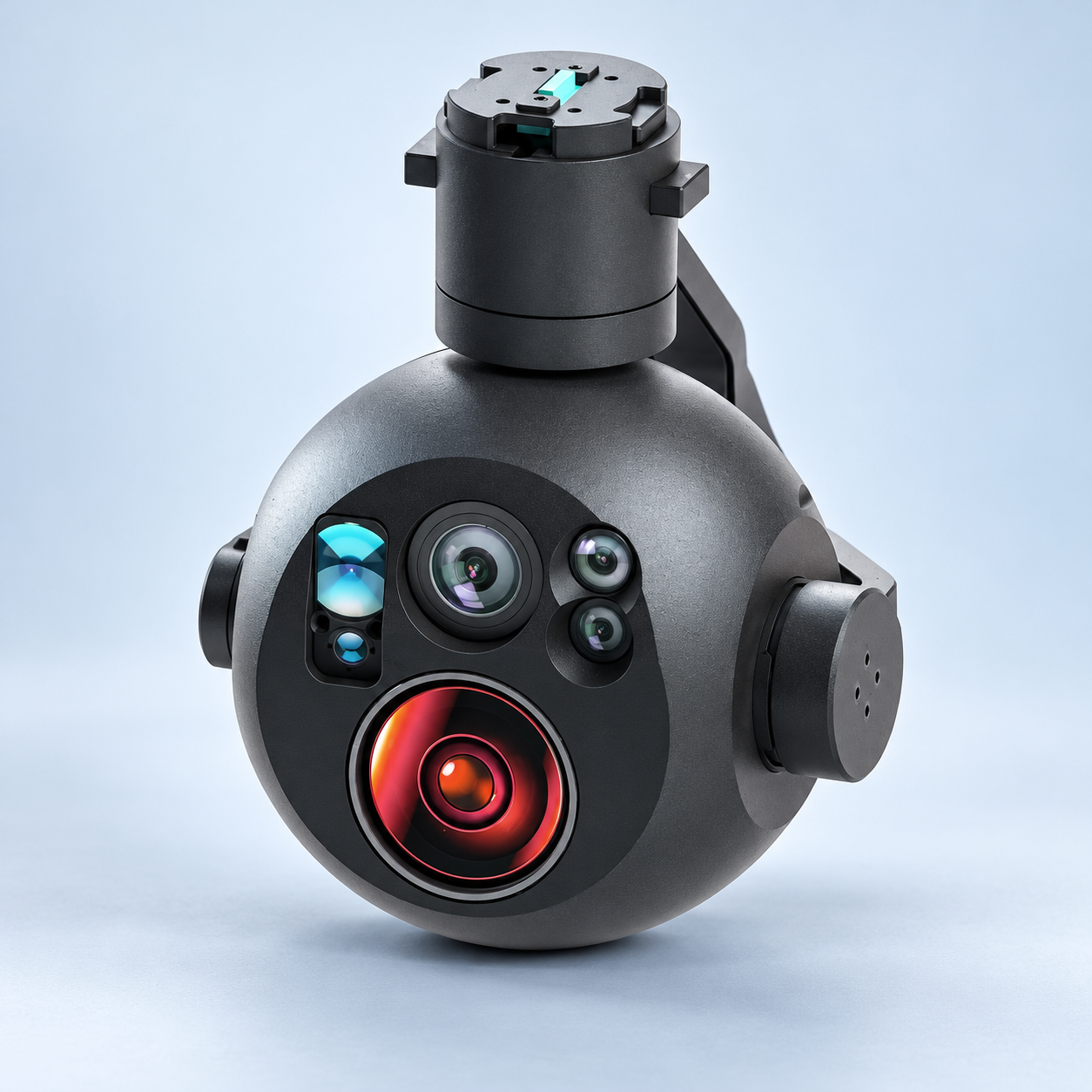 DX4
DX4DX4 Dual 4K EO IR Thermal Laser Rangefinder 3-Axis UAV Gimbal with Target Tracking
Gimbal Pod