DX5 4K EO Camera IR Thermal Imaging Laser Rangefinder 3-Axis UAV Gimbal Payload
SKU:DX5
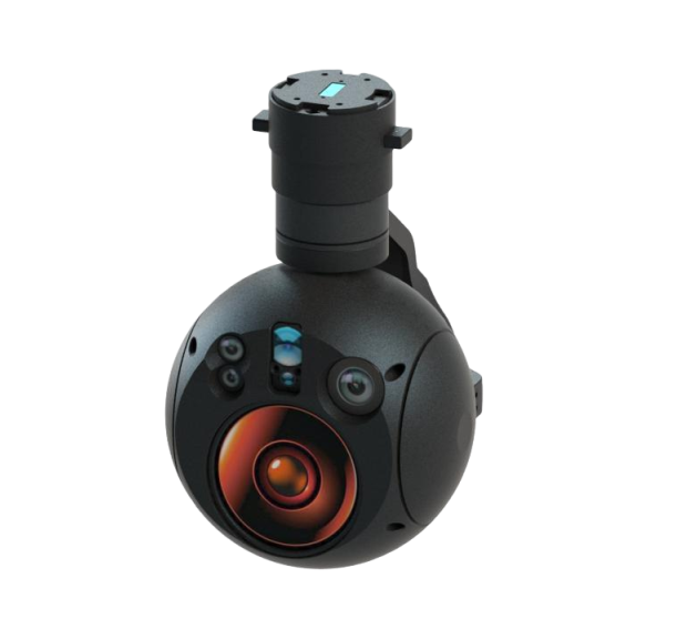
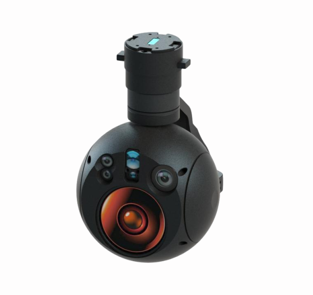
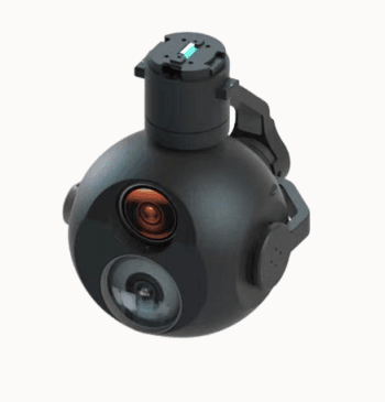
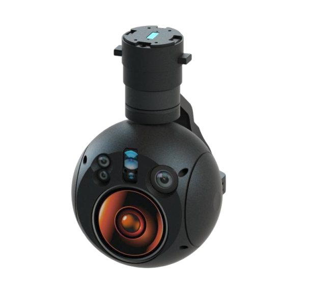
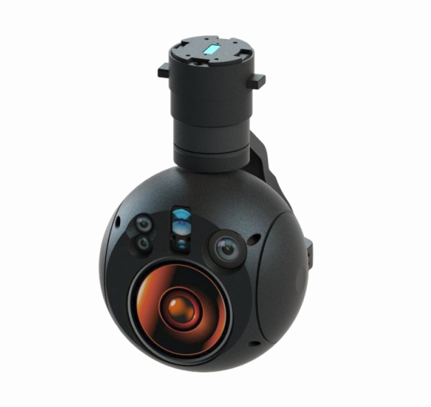
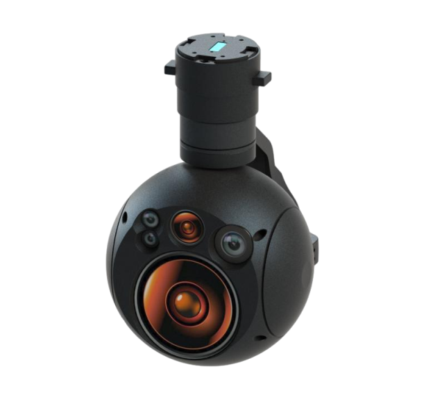
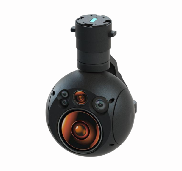
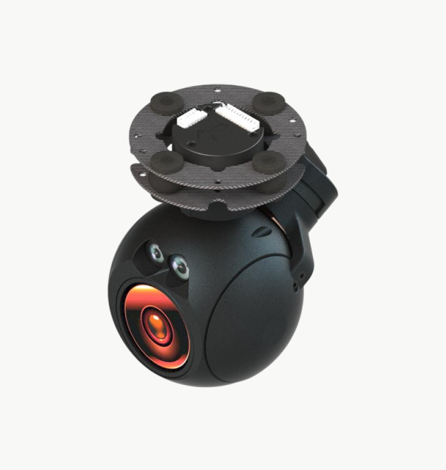
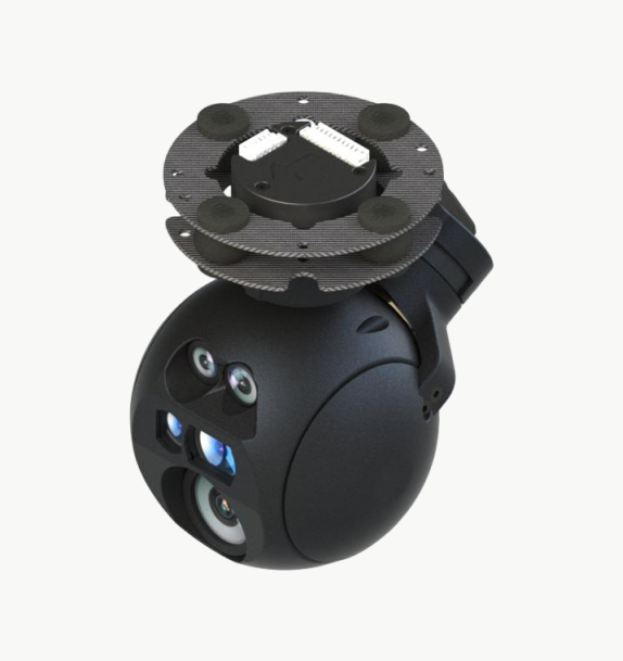
DX5 4K EO Camera IR Thermal Imaging Laser Rangefinder 3-Axis UAV Gimbal Payload is an 870g UAV gimbal payload designed for medium-to-long-range observation, target tracking and laser ranging missions. It integrates triple visible-light imaging, IR thermal imaging and an LRF laser rangefinder, supporting 4K EO camera output, 40x optical zoom, 120x hybrid zoom, target recognition, stabilized tracking and RTSP video transmission for professional aerial surveillance.
Share on:


1. DX5 4K EO Camera IR Thermal Imaging Laser Rangefinder 3-Axis UAV Gimbal Payload Overview
DX5 4K EO Camera IR Thermal Imaging Laser Rangefinder 3-Axis UAV Gimbal Payload is an 870g UAV gimbal payload designed for medium-to-long-range observation, target tracking and laser ranging missions. It integrates triple visible-light imaging, IR thermal imaging and an LRF laser rangefinder, supporting 4K EO camera output, 40x optical zoom, 120x hybrid zoom, target recognition, stabilized tracking and RTSP video transmission for professional aerial surveillance.
2. Product Features
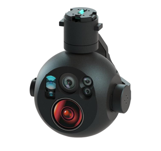
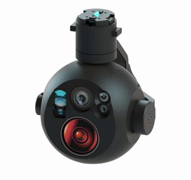
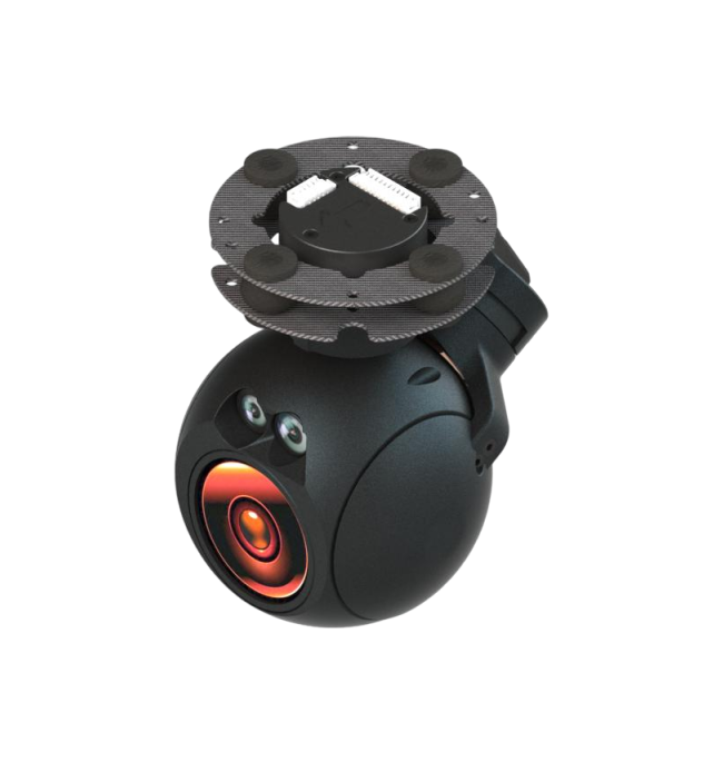
- Compact Payload: The DX5 uses a compact integrated structure with an 870g payload weight for UAV and airborne platform deployment.
- 4K EO Imaging: Dual 4K image sensors provide 3840×2160@30fps visible-light imaging for clear observation and inspection.
- Powerful Zoom: The EO camera supports 40x optical zoom and 120x hybrid zoom for medium-to-long-range target observation.
- Triple-Mode Sensing: Three visible-light channels, IR thermal imaging and LRF laser ranging are integrated in one stabilized payload.
- Target Intelligence: Built-in target recognition, target tracking and image compression support efficient UAV gimbal surveillance workflows.
- Thermal Palettes: Multiple color palettes help operators interpret IR thermal imaging scenes in different operating conditions.
- Rich Video Overlay: Picture in Picture and OSD overlay functions improve situational awareness during live observation.
- Three-Axis Stabilization: A three-axis stabilized platform improves image steadiness during aerial tracking and inspection tasks.
3. Detailed Technical Parameters
| Parameter | Specification |
|---|---|
| Product – Model | DX5 |
| Product – Type | Payload / triple-mode micro-pod |
| Weight – Weight | 870g |
| EO – Resolution and frame rate | 3840×2160@30fps |
| EO – Optical zoom | 40x optical zoom |
| EO – Hybrid zoom | 120x hybrid zoom |
| EO – Field of view (wide) | 100 deg x 68 deg |
| EO – Field of view (tele) | 3.3 deg x 1.9 deg |
| EO/Platform – Angular position accuracy | <=0.3 deg |
| EO/Platform – Stability accuracy | 0.1 mrad (1 deg/2Hz, 1 sigma) |
| EO/Platform – Tracking capability | >=100 deg/s in parameter block; later CNC page says maximum angular velocity >=60 deg/s |
| IR – Resolution and frame rate | 1280×1024@30fps in title block |
| IR – Field of view | 17.5 deg ~ 14 deg in title block |
| IR – Note | The IR page body appears to contain template residue mentioning DD360plus+ and 640×512@60fps / 12.1 deg x 10 deg; kept as image inconsistency |
| Laser Rangefinder – Measuring distance | 20m~3000m |
| Laser Rangefinder – Measuring distance accuracy | +/-1m |
| Control – Control interface | UART (TTL 3.3V, RS232 protocol); SBUS optional; default TTL |
| Video – Video output | Ethernet, RTSP |
| Video – Encoding format | H264/H265 |
| Video – Video storage format | MP4 |
| Power – Power connector | 12~24V DC |
| Power – Power consumption | Average <=15W |
| Gimbal – Yaw axis | n x 360 deg infinite positions |
| Gimbal – Pitch axis | -100 deg to +100 deg rotation |
| Gimbal – Roll axis | +/-45 deg rotation |
| Environment – Operating temperature | -20 deg C ~ +55 deg C |
| Environment – Storage temperature | -20 deg C ~ +60 deg C |
4. Application Scenarios
- Public Security: Supports aerial observation, target recognition and stabilized tracking for public security operations.
- Environmental Project: Provides EO and IR imaging for environmental patrol, inspection and remote observation missions.
- Forest Fire Monitoring: Uses IR thermal imaging and visible-light video to assist fire detection, monitoring and response.
- Law Enforcement: Enables UAV-based evidence observation, target tracking and long-range laser ranging during law enforcement tasks.
- Long-Range UAV Inspection: Combines 4K EO zoom, thermal imaging and LRF measurement for medium-to-long-range inspection.
- Target Ranging: Supports target recognition, tracking and laser rangefinder measurement for situational awareness.
Related Products
-
 DT30DLNew
DT30DL Multi-Sensor Dual-Field EO/IR Laser Rangefinder Gimbal
Drone AI Pod -
 DS30ENew
DS30E Triple-Sensor EO/IR Laser Rangefinder Gimbal
Drone AI Pod -
 DD360ProNew
DD360Pro Triple-Mode EO/IR Micro Gimbal Pod
Drone AI Pod -
 DX5B
DX5BDX5B 4K EO Camera IR Thermal Imaging Laser Rangefinder Target Tracking UAV Gimbal Payload
Drone AI Pod -
 DX5A
DX5ADX5A 4K EO Camera Dual IR Thermal Imaging Target Tracking UAV Gimbal Payload
Drone AI Pod -
 DX4
DX4DX4 Dual 4K EO IR Thermal Laser Rangefinder 3-Axis UAV Gimbal with Target Tracking
Drone AI Pod -
 DX3B
DX3BDX3B 4K EO IR Thermal Imaging 3-Axis Micro UAV Gimbal with Target Tracking
Drone AI Pod -
 DX3A
DX3ADX3A Dual 4K EO Laser Rangefinder 3-Axis UAV Gimbal Camera with Target Tracking
Drone AI Pod