DS30E Triple-Sensor EO/IR Gimbal for Multi-Sensor UAV Observation
Gimbal Pod · Product guide
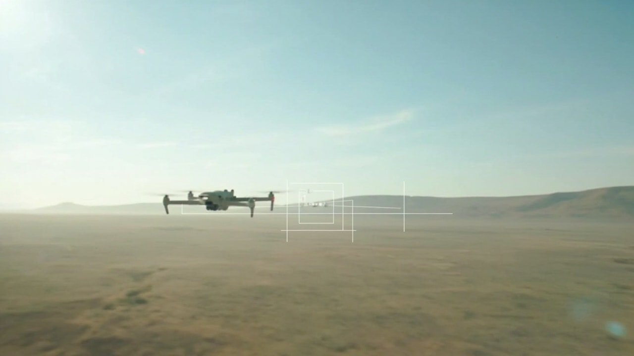
The DS30E is a three-axis EO/IR laser-rangefinder gimbal for UAVs, drones, robotic platforms, and airborne surveillance systems. It combines visible-light zoom and wide-angle cameras, thermal imaging, distance measurement, and stabilization in one payload, giving civilian teams several ways to observe, identify, inspect, and track targets.
Verified specifications
| Sensor configuration | 30× zoom EO camera, 2.8 mm fixed wide-angle EO camera, 1280 × 1024 thermal camera, and laser rangefinder |
|---|---|
| EO imaging | 1920 × 1080 at 60 fps; 4.3–129 mm lens; 30× continuous optical zoom |
| Thermal imaging | 1280 × 1024 at 60 fps; 50 mm telephoto lens; 17.4° × 14° field of view |
| Laser ranging | 30–3000 m measurement range, ±1 m accuracy, distance measurement, and target-position calculation |
| Stabilization | Three-axis gyro-stabilized platform; 0.1 mrad at 1°/2 Hz, 1σ stabilization accuracy |
| Weight and dimensions | Approximately 1,500 g; 177.5 × 145 × 208.5 mm |
| Control and video interfaces | RS232 or Network TCP control; H.264/H.265 network streaming; MP4 storage |
| Power | 12–28 V DC input; average consumption no more than 16 W, maximum no more than 30 W |
Visible, Thermal, and Ranging Sensors
The DS30E combines three imaging paths with a laser rangefinder. Its 30× EO camera uses a 4.3–129 mm lens for detailed visible-light observation, while the separate 2.8 mm camera covers a wider field for scanning and rapid target acquisition. Both feed into a 1920 × 1080 visible-light workflow capable of 60 fps output.
The thermal channel records 1280 × 1024 at 60 fps through a 50 mm telephoto lens, giving operators a separate view for heat-source detection. Picture-in-picture display permits visible and infrared channels to be viewed together. The rangefinder measures 30–3000 meters with a stated accuracy of ±1 meter and can calculate target position.
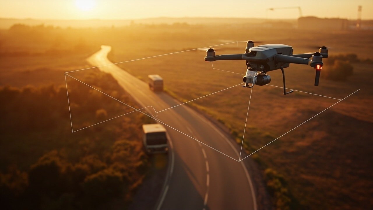
Operation, Stabilization, and Tracking
A three-axis gyro-stabilized platform is specified at 0.1 mrad stabilization accuracy under the stated 1°/2 Hz, 1σ condition. Yaw rotation is unlimited, pitch spans −100° to +100°, and roll spans ±50°. This arrangement supports panoramic observation and continuous tracking, with a listed maximum angular velocity of at least 100°/s and tracking speed of at least 40°/s.
Automatic recognition and tracking are available for vehicles and people through selectable tracking modes. The on-screen display includes camera status, target information, coordinates, range data, and platform information. Thermal presentation includes 6–15 display modes depending on module configuration, plus a temperature-bar overlay and visibility control.
Civilian Mission Applications
For public security and emergency work, the payload can combine stabilized visible imagery, thermal observation, and distance data during area monitoring or response missions. Its automatic vehicle and human tracking functions may assist operators who need to maintain attention on a moving subject, while long-range laser measurement adds positional information beyond visual identification.
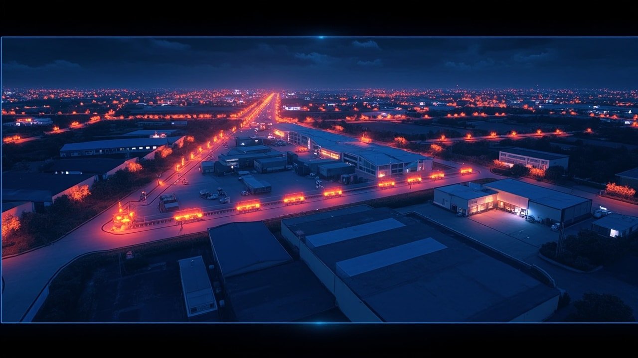
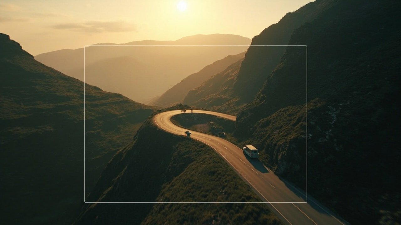
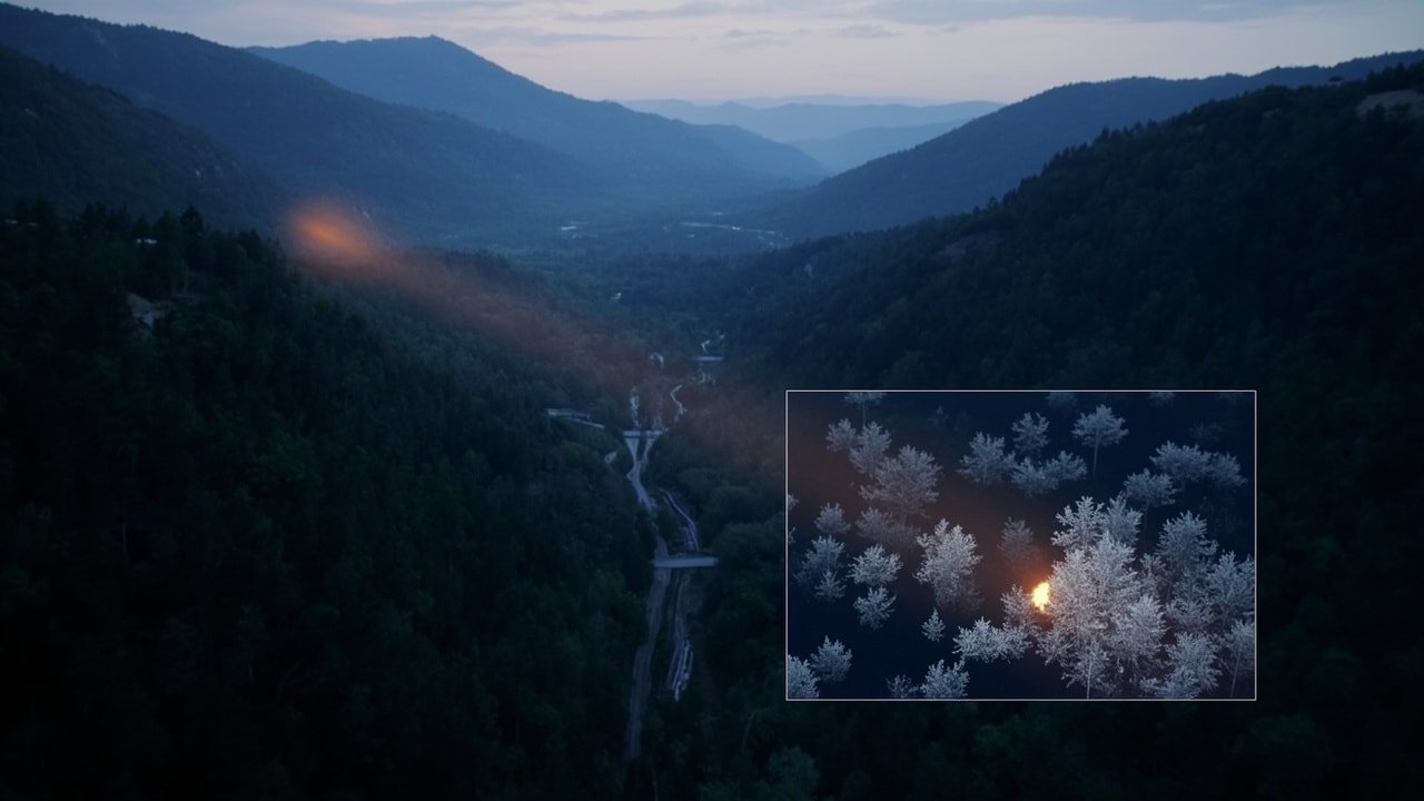
The sensor combination also suits forest fire monitoring, search and rescue, border and perimeter patrol, and infrastructure inspection. Thermal imaging can assist heat-source observation, while visible-light zoom supports closer examination of structures such as power lines, pipelines, substations, and towers. These functions provide different forms of information; operators still need to interpret imagery and range data in mission context.
Selection Tradeoffs and Integration Checks
At approximately 1,500 g, the DS30E adds meaningful payload mass and occupies a defined installation envelope of 177.5 × 145 × 208.5 mm. Aircraft and robotic integrators should account for mounting load, clearance, center-of-gravity placement, and the stated 12–28 V DC power input. Its maximum consumption of 30 W should be included in platform power planning.
The documented mounting arrangement uses four M3 mounting holes and a quick-release structure. Control is available through RS232 or Network TCP, while video uses H.264/H.265 network streaming and MP4 storage. These are confirmed product interfaces, but platform-level mechanical, electrical, and control compatibility still requires integration checks rather than assumption.
Before installation, verify the following against the selected carrier and mission system:
- Confirm clearance around the gimbal and its full yaw, pitch, and roll travel.
- Verify mounting points, payload balance, and available 12–28 V DC power.
- Match the platform’s RS232 or Network TCP control configuration.
- Test network bandwidth, recording workflow, and required OSD information.
Frequently asked questions
What does the triple-sensor configuration provide?
It combines a 30× Full HD electro-optical zoom camera, a 2.8 mm fixed wide-angle visible-light camera, and a 1280 × 1024 thermal camera. Together, these channels support broad-area scanning, detailed visible observation, and heat-source detection, with picture-in-picture display for comparing EO and infrared views.
Can the DS30E support day-and-night civilian surveillance?
The documented EO and thermal channels provide distinct daytime and low-light observation options. The gimbal also supports vehicle and human recognition, automatic tracking, 30–3000 meter laser ranging, and continuous yaw rotation. Mission suitability still depends on aircraft integration, environmental conditions, and operator procedures.
What should be checked before mounting the payload?
Confirm mechanical clearance, mounting alignment, payload balance, and available 12–28 V DC power. Also verify whether the platform uses RS232 or Network TCP, assess network requirements for H.264/H.265 streaming, and check that the installation can accommodate the gimbal’s documented movement range.
How are control, video, and recordings handled?
The product supports control through RS232 or Network TCP. Video can be delivered as H.264/H.265 network streams, with MP4 available for storage. Its rich OSD presents camera status, target information, coordinates, range data, and platform information within the video interface.