Modern Drone Surveying Solutions
Drone surveying utilizes unmanned aerial vehicles equipped with advanced sensors to collect high-resolution data for various industries. This technology creates precise maps and 3D models for construction, agriculture, and other sectors where traditional methods prove costly, time-consuming, and challenging to implement in hazardous areas.
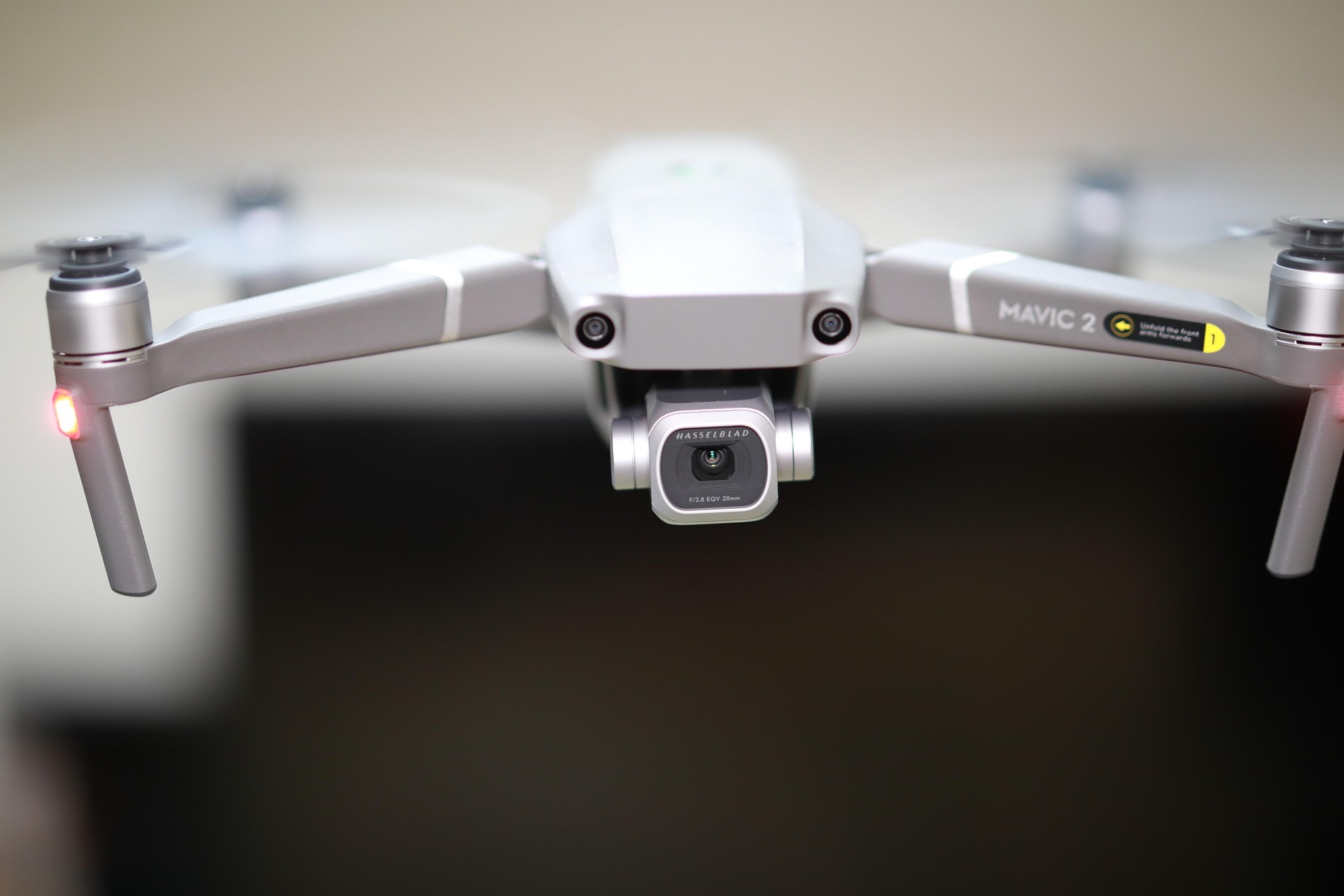
Modern surveying solutions like the Carbon Fibre Fuselage Drone with Dynamic AI Tracking combine 4K cameras and thermal imaging technology to provide comprehensive surveying capabilities. These advanced FPV drones deliver detailed visual and thermal data, transforming how industries approach data collection and analysis.
Advantages of 4K Cameras in Drone Surveying
4K resolution provides 3840×2160 pixels of crystal-clear imagery, enabling detection of minute details as small as a few centimeters. This high-definition capability allows professionals to identify concrete cracks or detect diseased plant leaves with unprecedented clarity.
Enhanced Image Quality with HDR
High Dynamic Range (HDR) technology significantly improves image quality in challenging lighting conditions, whether in bright sunlight or shadowy areas. This feature reduces deep shadows and eliminates overexposed highlights, ensuring consistent image quality throughout the survey area.
Precision Mapping and 3D Modeling
4K video facilitates the creation of accurate maps and detailed 3D models during daylight operations. High frame rates (such as 60fps) enable smooth video recording while minimizing motion blur during flight operations. The versatility of 4K cameras extends to pairing with multi-spectral sensors for comprehensive plant health analysis.
The Carbon Fibre Fuselage Drone features a dual-light camera system with 2K high-definition visible light camera supporting 30x electronic zoom, capturing clear details from significant distances. This makes it particularly suitable for professional surveying applications requiring precise visual data collection.
Critical Role of Thermal Imaging in Drone Applications
Thermal imaging cameras detect invisible infrared energy emitted by objects, creating color-coded images based on temperature variations. This technology remains effective in complete darkness, through smoke, or in foggy conditions, significantly extending operational hours for drone missions.
Identifying Hidden Thermal Issues
Thermal imaging reveals heat-related problems invisible to the naked eye. Applications include identifying malfunctioning cells in solar panels, detecting insulation weaknesses in buildings where heat escapes, and locating individuals during search and rescue operations through body heat signatures.
Agricultural and Industrial Applications
Farmers utilize thermal imaging to monitor crop water stress and check livestock health, while industrial applications include equipment monitoring and maintenance planning. High-resolution thermal sensors capture finer details, enhancing the accuracy of thermal analysis.
Professional surveying equipment like the Carbon Fibre Fuselage Drone incorporates high-resolution thermal imaging cameras with 384×288 resolution, making them ideal for thermal inspection applications in various environmental conditions.
Synergistic Benefits of 4K and Thermal Imaging
Combining 4K and thermal imaging data provides simultaneous visualization of both physical and thermal worlds. Capturing both data types during a single flight mission saves significant time and resources while delivering comprehensive situational awareness.
Integrated Data Analysis
Specialized software enables the overlay of thermal image layers onto clear 4K photographs, precisely pinpointing problem areas. This integrated approach reduces the likelihood of false alarms and provides more reliable information for decision-making.
Practical Applications
During power line inspections, 4K cameras identify broken components while thermal imaging detects dangerous overheating connections. In environmental work, this combination helps track wildlife or identify illegal pollution sources with unprecedented accuracy.
Real-World Applications and Case Studies
Construction sites utilize drone surveying to track progress and measure earthwork, with reported time savings of up to 30% compared to traditional surveying methods. Agricultural applications include field mapping for precision fertilization and irrigation guidance, optimizing crop yields through data-driven decisions.
Industrial and Commercial Use Cases
Mining companies employ drones for inventory management, achieving precise volume measurements of stockpiles. The technology’s versatility extends to various sectors requiring accurate spatial data and thermal analysis.
Professional Surveying Solution
The Carbon Fibre Fuselage Drone with Dynamic AI Tracking represents the pinnacle of surveying technology, featuring 35-minute flight endurance, 3KG load capacity, and 20KM image transmission range. This advanced surveying drone combines intelligent AI dynamic tracking with dual-frequency communication for reliable performance in complex environments.